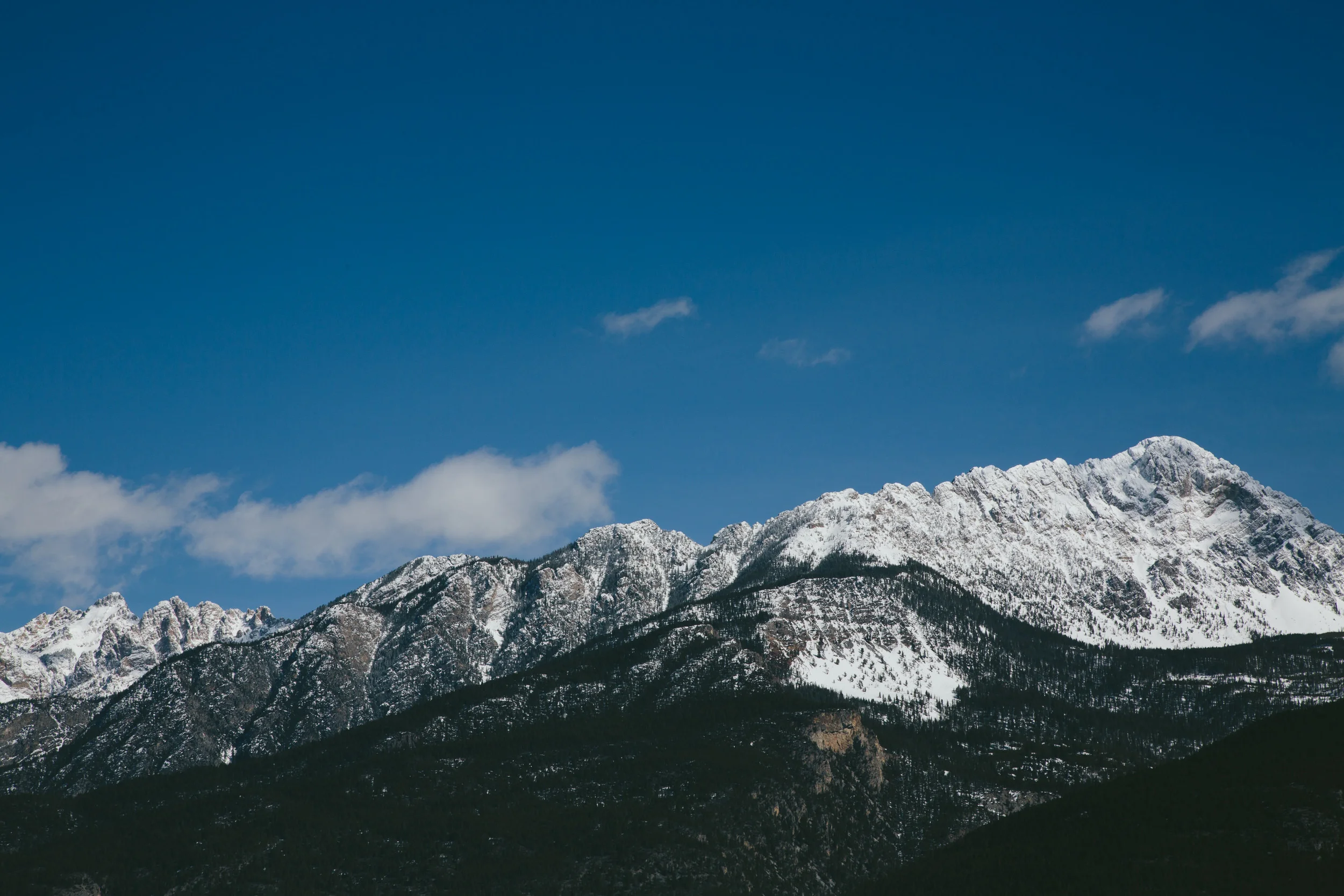
High above Longmont and the rest of eastern Boulder County, the Needle's Eye Tunnel beckons. It beckons Fred Untch, who remembers driving through the now-closed tunnel on family fishing trips to high country lakes. He still visits the area, pole in hand.
LAW: To designate the James Peak Wilderness and Protection Area in the Arapaho and Roosevelt National Forests in the State of Colorado, and for other purposes.
[107th Congress Public Law 216]
[From the U.S. Government Printing Office]
<DOC>
[DOCID: f:publ216.107]
[[Page 116 STAT. 1055]]
Public Law 107-216
107th Congress
An Act
To designate the James Peak Wilderness and Protection Area in the
Arapaho and Roosevelt National Forests in the State of Colorado, and for other purposes. <<NOTE: Aug. 21, 2002 -[H.R. 1576]>>
Be it enacted by the Senate and House of Representatives of the
United States of America in <<NOTE: James Peak Wilderness and Protection Act.>> Congress assembled,
SECTION 1. <<NOTE: 16 USC 539l.>> SHORT TITLE.
This Act may be cited as the ``James Peak Wilderness and Protection
Area Act''.
SEC. 2. WILDERNESS DESIGNATION.
(a) Inclusion With Other Colorado Wilderness Areas.--Section 2(a) of
the Colorado Wilderness Act of 1993 (Public Law 103-77; 107 Stat. 756; 16 U.S.C. 1132 note) is amended by adding at the end the following
``(21) Certain lands in the Arapaho/Roosevelt National
Forest which comprise approximately 14,000 acres, as generally
depicted on a map entitled `Proposed James Peak Wilderness',
dated September 2001, and which shall be known as the James Peak
Wilderness.''.
(b) Addition to the Indian Peaks Wilderness Area.--Section 3 of the
Indian Peaks Wilderness Area and Arapaho National Recreation Area and
the Oregon Islands Wilderness Area Act (Public Law 95-450; 92 Stat.
1095; 16 U.S.C. 1132 note) is amended by adding at the end the folloing new subsections:
``(c) The approximately 2,232 acres of Federal lands in the Arapaho/
Roosevelt National Forest generally depicted on the map entitled `Ranch
Creek Addition to Indian Peaks Wilderness' dated September 2001, are
hereby added to the Indian Peaks Wilderness Area.
``(d) The approximately 963 acres of Federal lands in the Arapaho/
Roosevelt National Forest generally depicted on the map entitled `Fourth of July Addition to Indian Peaks Wilderness' dated September 2001, are hereby added to the Indian Peaks Wilderness Area.''.
(c) Maps and Boundary Descriptions.--As soon as practicable after
the date of the enactment of this Act, the Secretary of Agriculture
(hereafter in this Act referred to as the ``Secretary'') shall file with the Committee on Resources of the House of Representatives and the Committee on Energy and Natural Resources of the Senate a map and aboundary description of the area designated as wilderness by subsection (a) and of the area added to the Indian Peaks Wilderness Area by
subsection (b). The maps and boundary descriptions shall have the same force and effect as if included in the Colorado Wilderness Act of 1993 and the Indian Peaks
[[Page 116 STAT. 1056]]
Wilderness Area and Arapaho National Recreation Area and the Oregon
Islands Wilderness Area Act, respectively, except that the Secretary may correct clerical and typographical errors in the maps and boundary descriptions. The maps and boundary descriptions shall be on file and available for public inspection in the office of the Chief of the Forest Service, Department of Agriculture and in the office of the Forest Supervisor of the Arapaho/Roosevelt National Forest.
SEC. 3. <<NOTE: 16 USC 539l.>> DESIGNATION OF JAMES PEAK PROTECTION
AREA, COLORADO.
(a) Findings and Purpose.--
(1) Findings.--The Congress finds the following:
(A) The lands covered by this section include
important resources and values, including wildlife
habitat, clean water, open space, and opportunities for
solitude.
(B) These lands also include areas that are suitable
for recreational uses, including use of snowmobiles in
times of adequate snow cover as well as use of other
motorized and nonmotorized mechanical devices.
(C) These lands should be managed in a way that
affords permanent protection to their resources and
values while permitting continued recreational uses in
appropriate locales and subject to appropriate
regulations.
(2) Purpose.--The purpose of this section is to provide for
management of certain lands in the Arapaho/Roosevelt National
Forest in a manner consistent with the 1997 Revised Land and
Resources Management Plan for this forest in order to protect
the natural qualities of these areas.
(b) Designation.--The approximately 16,000 acres of land in the
Arapaho/Roosevelt National Forest generally depicted on the map entitled ``Proposed James Peak Protection Area'', dated September 2001, are hereby designated as the James Peak Protection Area (hereafter in this Act referred to as the ``Protection Area'').
(c) Map and Boundary Description.--As soon as practicable after the
date of the enactment of this Act, the Secretary shall file with the
Committee on Resources of the House of Representatives and the Committee
on Energy and Natural Resources of the Senate a map and a boundary
description of the Protection Area. The map and boundary description
shall have the same force and effect as if included in this Act, except that the Secretary may correct clerical and typographical errors in the map and boundary description. The map and boundary description shall be on file and available for public inspection in the office orthe Chief of the Forest Service, Department of Agriculture, and in the office of the Forest Supervisor of the Arapaho/Roosevelt National Forest.
(d) Management.--
(1) In general.--Except as otherwise provided in this
section, the Protection Area shall be managed and administered
by the Secretary in the same manner as the management area
prescription designations identified for these lands in the 1997
Revision of the Land and Resource Management Plan for the
Arapaho/Roosevelt National Forest and the Pawnee National
Grasslands. Such management and administration shall be in
accordance with the following:
(A) Grazing.--Nothing in this Act, including the
establishment of the Protection Area, shall affect
grazing on lands within or outside of the Protection
Area.
[[Page 116 STAT. 1057]]
(B) Mining withdrawal.--Subject to valid existing
rights, all Federal land within the Protection Area and
all land and interests in land acquired for the
Protection Area by the United States are withdrawn
from--
(i) all forms of entry, appropriation, or
disposal under the public land laws;
(ii) location, entry, and patent under the
mining laws; and
(iii) the operation of the mineral leasing,
mineral materials, and geothermal leasing laws,
and all amendments thereto.
Nothing in this subparagraph shall be construed to
affect discretionary authority of the Secretary under
other Federal laws to grant, issue, or renew rights-of-
way or other land use authorizations consistent with the
other provisions of this Act.
(C) Motorized and mechanized travel.--
(i) <<NOTE: Deadline.>> Review and
inventory.--Not later than two years after the
date of the enactment of this Act, the Secretary,
in consultation with interested parties, shall
complete a review and inventory of all roads and
trails in the Protection Area on which use was
allowed on September 10, 2001, except those lands
managed under the management prescription referred
to in subparagraph (F). During the review and
inventory, the Secretary may--
(I) connect existing roads and
trails in the inventoried area to other
existing roads and trails in the
inventoried area for the purpose of
mechanized and other nonmotorized use on
any lands within the Protection Area as
long as there is no net gain in the
total mileage of either roads or trails
open for public use within the
Protection Area; and
(II) close or remove roads or trails
within the Protection Area that the
Secretary determines to be undesirable,
except those roads or trails managed
pursuant to paragraph (2) of this
subsection or subsection (e)(3).
(ii) After completion of inventory.--After
completion of the review and inventory required by
clause (i), the Secretary shall ensure that
motorized and mechanized travel within the
Protection Area shall be permitted only on those
roads and trails identified as open to use in the
inventory or established pursuant to subparagraph
(D).
(D) New roads and trails.--No new roads or trails
shall be established within the Protection Area except
those which the Secretary shall establish as follows:
(i) Roads and trails established to replace
roads or trails of the same character and scope
which have become nonserviceable through reasons
other than neglect.
(ii) Nonpermanent roads as needed for
hazardous fuels reduction or other control of
fire, insect or disease control projects, or other
management purposes.
[[Page 116 STAT. 1058]]
(iii) Roads determined to be appropriate for
reasonable access under section 4(b)(2).
(iv) A loop trail established pursuant to
section 6.
(v) Construction of a trail for nonmotorized
use following the corridor designated as the
Continental Divide Trail.
(E) Timber harvesting.--No timber harvesting shall
be allowed within the Protection Area except to the
extent needed for hazardous fuels reduction or other
control of fire, insect or disease control projects, or
protection of public health or safety.
(F) <<NOTE: Applicability.>>Special interest
area.--The management prescription applicable to the
lands described in the 1997 Revision of the Land and
Resource Management Plan as the James Peak Special
Interest Area shall also be applicable to all the lands
in the Protection Area that are bounded on the north by
Rollins Pass Road, on the east by the Continental
Divide, and on the west by the 11,300 foot elevation
contour as shown on the map referred to in subsection
(b). In addition, motorized vehicle use shall not be
permitted on any part of the Rogers Pass trail.
(2) Natural gas pipeline.--The Secretary shall allow for
maintenance of rights-of-ways and access roads located within
the Protection Area to the extent necessary to operate the
natural gas pipeline permitted under the Arapaho/Roosevelt
National Forest master permit numbered 4138.01 in a manner that
avoids negative impacts on public safety and allows for
compliance with Federal pipeline safety requirements. Such
maintenance may include vegetation management, road maintenance,
ground stabilization, and motorized vehicle access.
(3) Permanent federal ownership.--All right, title, and
interest of the United States, held on or acquired after the
date of the enactment of this Act, to lands within the
boundaries of the Protection Area shall be retained by the
United States.
(e) Issues Related to Water.--
(1) Statutory construction.--
(A) Nothing in this Act shall constitute or be
construed to constitute either an express or implied
reservation of any water or water rights with respect to
the lands within the Protection Area.
(B) Nothing in this Act shall affect any conditional
or absolute water rights in the State of Colorado
existing on the date of the enactment of this Act.
(C) Nothing in this subsection shall be construed as
establishing a precedent with regard to any future
protection area designation.
(D) Nothing in this Act shall be construed as
limiting, altering, modifying, or amending any of the
interstate compacts or equitable apportionment decrees
that apportion water among and between the State of
Colorado and other States.
(2) Colorado water law.--The Secretary shall follow the
procedural and substantive requirements of the law of the State
of Colorado in order to obtain and hold any new water rights
with respect to the Protection Area.
[[Page 116 STAT. 1059]]
(3) Water infrastructure.--Nothing in this Act (including
the provisions related to establishment or management of the
Protection Area) shall affect, impede, interfere with, or
diminish the operation, existence, access, maintenance,
improvement, or construction of water facilities and
infrastructure, rights-of-way, or other water-related property,
interests, and uses, (including the use of motorized vehicles
and equipment existing or located on lands within the Protection
Area) on any lands except those lands managed under the
management prescription referred to in subsection (d)(1)(F).
SEC. 4. <<NOTE: 16 USC 539l-1.>> INHOLDINGS.
(a) State Land Board Lands.--If the Colorado State Land Board
informs the Secretary that the Board is willing to transfer to the
United States some or all of the lands owned by the Board located within
the Protection Area, the Secretary shall promptly seek to reach
agreement with the Board regarding terms and conditions for acquisition of such lands by the United States by purchase or exchange.
(b) Jim Creek Inholding.--
(1) Acquisition of lands.--The Secretary shall enter into
negotiations with the owner of lands located within the portion
of the Jim Creek drainage within the Protection Area for the
purpose of acquiring the lands by purchase or exchange, but the
United States shall not acquire such lands without the consent
of the owner of the lands.
(2) Landowner rights.--Nothing in this Act shall affect any
rights of the owner of lands located within the Jim Creek
drainage within the Protection Area, including any right to
reasonable access to such lands by motorized or other means as
determined by the Forest Service and the landowner consistent
with applicable law and relevant and appropriate rules and
regulations governing such access.
(c) Report.--
(1) In general.--The Secretary shall submit to the Committee
on Resources of the House of Representatives and the Committee
on Energy and Natural Resources of the Senate a report
concerning any agreement or the status of negotiations conducted
pursuant to--
(A) subsection (a), upon conclusion of an agreement
for acquisition by the United States of lands referred
to in subsection (a), or 1 year after the date of the
enactment of this Act, whichever occurs first; and
(B) subsection (b), upon conclusion of an agreement
for acquisition by the United States of lands referred
to in subsection (b), or 1 year after the date of the
enactment of this Act, whichever occurs first.
(2) Funding information.--The report required by this
subsection shall indicate to what extent funds are available to
the Secretary as of the date of
the report for the acquisition of the relevant lands and whether
additional funds need to be appropriated or otherwise made available to the Secretary for such purpose.
(d) Management of Acquisitions.--Any lands within the James Peak
Wilderness or the Protection Area acquired by the United States after
the date of the enactment of this Act shall be added to the James Peak Wilderness or the Protection Area,
respectively, and managed accordingly.
SEC. 5. <<NOTE: 16 USC 539l-2.>> JAMES PEAK FALL RIVER TRAILHEAD.
(a) Services and Facilities.--Following the consultation required by
subsection (c), the Forest Supervisor of the Arapaho/Roosevelt National Forest in the State of Colorado (in this section referred to as the
``Forest Supervisor'') shall establish a trailhead and corresponding
facilities and services to regulate use of National Forest System lands in the vicinity of the Fall River basin south of the communities of Alice Township and St. Mary's Glacier in the State of Colorado. The
facilities and services shall include the following:
(1) Trailhead parking.
(2) Public restroom accommodations.
(3) Trailhead and trail maintenance.
(b) Personnel.--The Forest Supervisor shall assign Forest Service
personnel to provide appropriate management and oversight of the area
described in subsection (a).
(c) Consultation.--The Forest Supervisor shall consult with the
Clear Creek County commissioners and with residents of Alice Township
and St. Mary's Glacier regarding--
(1) the appropriate location of facilities and services in
the area described in subsection (a); and
(2) appropriate measures that may be needed in this area--
(A) to provide access by emergency or law
enforcement vehicles;
(B) for public health; and
(C) to address concerns regarding impeded access by
local residents.
(d) Report.--After the consultation required by subsection (c), the
Forest Supervisor shall submit to the Committee on Resources and the
Committee on Appropriations of the House of Representatives and the
Committee on Energy and Natural Resources and the Committee on
Appropriations of the Senate a report regarding the amount of any
additional funding required to implement this section.
SEC. 6. <<NOTE: 16 USC 539l-3.>> LOOP TRAIL STUDY; AUTHORIZATION.
(a) Study.--Not <<NOTE: Deadline.>> later than three years after
funds are first made available for this purpose, the Secretary, in
consultation with interested parties, shall complete a study of the
suitability and feasibility of establishing, consistent with the purpose set forth in section 3(a)(2), a loop trail for mechanized and other nonmotorized recreation connecting the trail designated as ``Rogers Pass'' and the trail designated as ``Rollins Pass Road''.
(b) Establishment.--If the results of the study required by
subsection (a) indicate that establishment of such a loop trail would be
suitable and feasible, consistent with the purpose set forth in section
3(a)(2), the Secretary shall establish the loop trail in a manner
consistent with that purpose.
SEC. 7. <<NOTE: 16 USC 539l-4.>> OTHER ADMINISTRATIVE PROVISIONS.
(a) Buffer Zones.--The designation by this Act or by amendments made
by this Act of wilderness areas and the Protection Area in the State of Colorado shall not create or imply the creation of protective perimeters or buffer zones around any wilderness area or the Protection Area. The fact that nonwilderness activities
[[Page 116 STAT. 1061]]
or uses can be seen or heard from within a wilderness area or Protection Area shall not, of itself, preclude such activities or uses up to the boundary of the wilderness area or the Protection Area.
(b) Rollins Pass Road.--If requested by one or more of the Colorado
Counties of Grand, Gilpin, and Boulder, the Secretary shall provide
technical assistance and otherwise cooperate with respect to repairing the Rollins Pass road in those counties sufficiently to allow two-wheel-drive vehicles to travel between Colorado State Highway 119 and U.S. Highway 40. If this road is repaired to such extent, the Secretary shall close the motorized roads and trails on Forest Service land indicated on the map entitled ``Rollins Pass Road Reopening: Attendant Road and Trail Closures'', dated September 2001.
SEC. 8. <<NOTE: 16 USC 539l-5.>> WILDERNESS POTENTIAL.
(a) In General.--Nothing in this Act shall preclude or restrict the
authority of the Secretary to evaluate the suitability of lands in the Protection Area for inclusion in the National Wilderness Preservation System or to make recommendations to Congress for such inclusion.
(b) Evaluation of Certain Lands.--In connection with the first
revision of the land and resources management plan for the Arapaho/
Roosevelt National Forest after the date of the enactment of this Act,
the Secretary shall evaluate the suitability of the lands managed under the management prescription referred to in section 3(d)(1)(F) for
inclusion in the National Wilderness Preservation System and make
recommendations to Congress regarding such inclusion.
Approved August 21, 2002.
LEGISLATIVE HISTORY--H.R. 1576:
---------------------------------------------------------------------------
HOUSE REPORTS: No. 107-316 (Comm. on Resources).
SENATE REPORTS: No. 107-200 (Comm. on Energy and Natural Resources).
CONGRESSIONAL RECORD:
Vol. 147 (2001):
Dec. 11, considered and passed
House.
Vol. 148 (2002):
Aug. 1, considered and passed
Senate.
<all>